
The name only comes indirectly from the Mohawk Indians, who did not live in the area. It is said that the local tribes would light fires at the top of the mountain to warn neighboring communities further south of approaching Mohawks.
The area is most popular in the winter for cross-country skiing, and skiers and snowboarders using the nearby Mohawk Mountain Ski Area. It is also popular in the fall for leaf-peeping and offers hiking and camping opportunities. It is one of the few forests in Connecticut where hunting is prohibited.
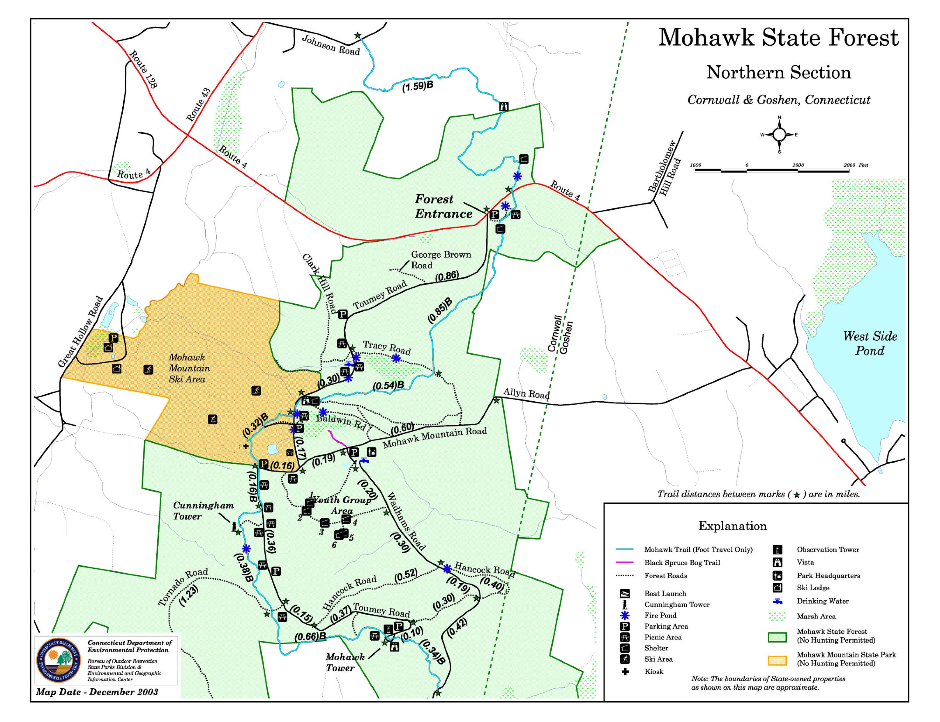
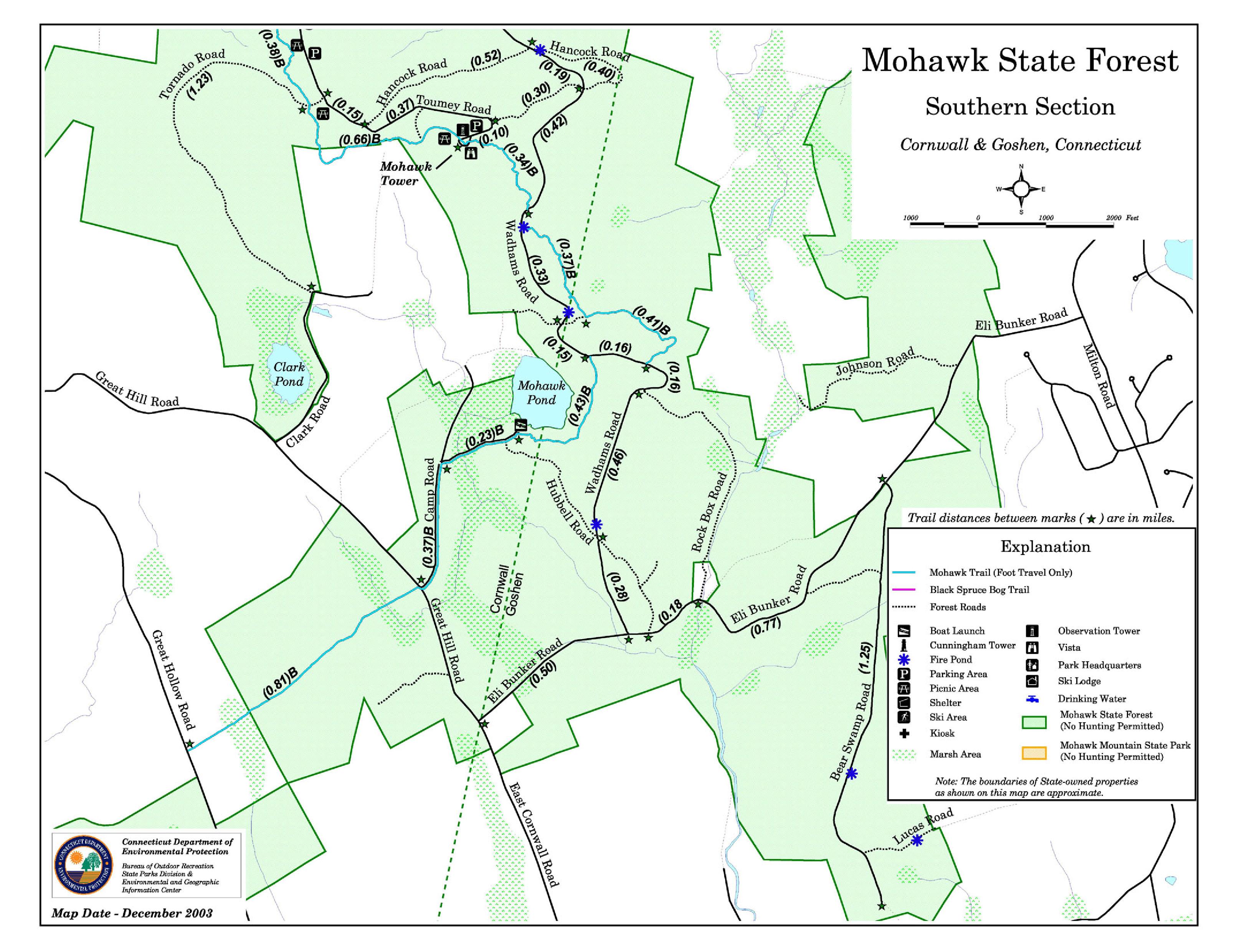
Points of interest
Black Spruce Bog
Mohawk State Forest is home to one of the few bogs in Connecticut. Plants such as sheep laurel, leatherleaf, sphagnum moss, sundew, and pitcher plant are found here, with white pine, black spruce, eastern hemlock, and tamarack comprising the overstory. A boardwalk leads visitors into the bog, and there is a separate area for disabled visitors.
Cunningham Tower
An old, gutted stone tower stands along the blue trail in the northern section of the forest.
Mohawk Mountain
The top of Mohawk Mountain (elev. 1683 feet) offers sweeping views of the Taconic Mountains and Berkshire Mountains to north and northwest, with peaks well into New York and Massachusetts being visible. On a clear day, Mount Greylock and the eastern Catskills can be seen. The blue-blazed Mattatuck Trail crosses the mountain.
Some peaks visible from the top of the mountain are:
Bear Mountain (CT)
Race Mountain (MA)
Mount Everett (MA)
Canaan Mountain (CT)
Cream Hill (CT)
Wetuwanchu Mountain (CT)
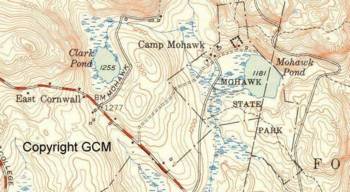
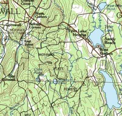
Mohawk Pond
The southern section of the state forest borders Mohawk Pond, a small kettle pond. It is stocked with brown trout, brook trout, and rainbow trout.
Red Mountain
Accessible on foot via the blue-blazed Mohawk Trail (formerly the Appalachian Trail), Red Mountain (elev. 1652') occupies the northernmost section of Mohawk State Forest. Due to the shallow bedrock of the peak, the higher elevations of the mountain are home to shrubby oak trees and several scenic views.
